

The Fires Down Below: ‘Look-Down’ Technology
Far above the rough terrain where wildfires thrive, satellite and aerial technology is being used to give firefighters on the ground the big picture. By Sue […]
Far above the rough terrain where wildfires thrive, satellite and aerial technology is being used to give firefighters on the ground the big picture. By Sue […]
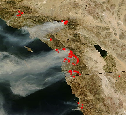
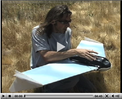
San Diego, CA, November 1, 2007 — Researchers from the California Institute for Telecommunications and Information Technology (Calit2), the Visualization Center at San Diego State […]