SDSU is the primary resource for processing imaging data for the U.S. Navy.
By Gina Jacob
From thousands of miles away, researchers in San Diego State University’s Immersive Visualization Center, also known as the Viz Lab, are helping first-responders on the ground in Haiti. Because of SDSU’s long-standing partnership with the U.S. Navy, SDSU has been the primary resource for processing imaging data.
Working around the clock
Eric Frost, co-director of SDSU’s Viz Lab, and his colleague John Graham have been working around the clock along with other Viz Lab staff members to process the massive amounts of images being sent from Haiti.
“This is a unique partnership that we have with the Navy and this is the first time we’ve really been able to utilize the technology to help during a live disaster relief event,” Frost said.
“Even though we are here in San Diego, we are able to provide critical help to the earthquake command center in Florida that is making a difference and saving lives in Haiti.”
Layering images for multi-level maps
Satellite and aerial images collected by U.S. Navy P-3 planes, as well as hand-held GPS devices, are being sent to the Viz Lab where they are layered together to create multi-level maps that are helping military and relief organizations navigate Haiti’s treacherous roads and damage left behind by massive earthquake two weeks ago.
The maps are helping relief organizations get supplies into areas that need it by showing roads that have been cleared, the location of refugee camps that have been set up and informing the U.S. Navy on the critical areas that need to be rebuilt.
Access it online
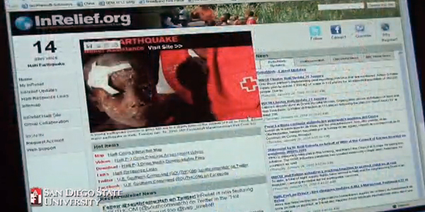
The data is accessible by all via the Internet at InRelief.org and via the Haiti Crisis Map.
About the Immersive Visualization Center
Located in the Chemical Sciences Laboratory building, the Immersive Visualization Center allows display and analysis of large data sets on eight different display screens in a U-shaped command and control center setting. High-speed optical connections enable the center to transmit and receive large volumes of data and work collaboratively with other command centers and researchers in the field. Internet, experimental optical and special high-performance wireless networks all converge in the Immersive Visualization Center to provide extraordinary connectivity for the university and community.


